Impacted by the Federal Shutdown? Get Resources and Support
We’re launching a new website for Baltimore City!
Check out the new beta site and share your feedback.
The Planning Department provides GIS-based information and analysis to support planning initiatives, as well as other City Agencies, City agencies, City Council, the Mayor’s Office, community organizations, and the general public.
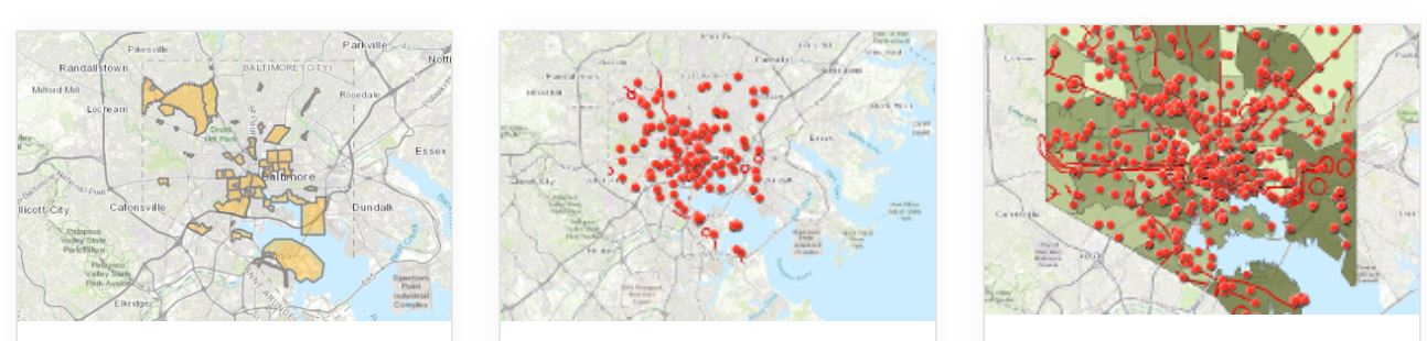
CityView – Explore the City’s many GIS data layers in CityView, and determine if a specific address falls within the boundary of a particular district or City program.
CodeMap – Explore citywide housing data, from major developments to vacant building notices. Turn layers on and off to view only the data of interest.
OpenBaltimore – Download Baltimore City data, including in GIS format.
Voting Wards & Precincts – Voting boundaries for the city of Baltimore. These boundaries have been updated in 2022 to reflect the new Legislative and Congressional districts.
In addition to the above resources, The Planning Department prepares a variety of custom data and maps for interested parties.
Please fill out the request form or call (410) 396-7526 to make a request. Please allow 1-2 weeks for completion of these requests. If you requested a paper map, wait until an employee confirms your map is ready to be picked up before coming in. We do not have maps in stock.
*Invoices may take up to 24 hours to show up in system. If you can’t locate your invoice in the system after 24 hours, reach out to the person who provided it to you.
Maps can be picked up during normal business hours (8:30am-4:30pm) on the 8th floor of the Benton Building, 417 E Fayette St.
*Make sure your map is ready before coming to pick it up.
While the map creation and data analysis service is free and can be shared electronically at no charge, the Department charges a fee for printing maps out at a large size in order to cover printing costs.
Printing Costs for 3 Ft x 4 Ft maps:
-$50 for color
-$25 for black and white
Other Available Printing Locations: